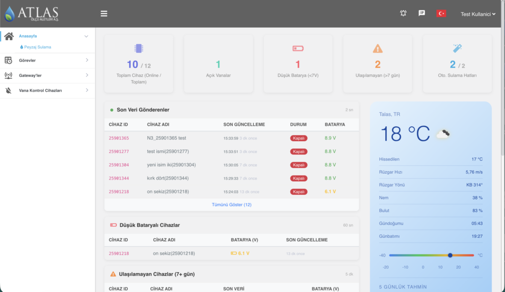
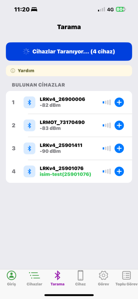
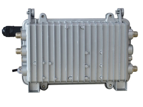
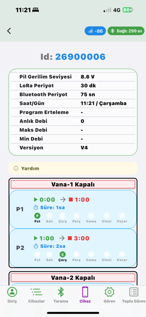
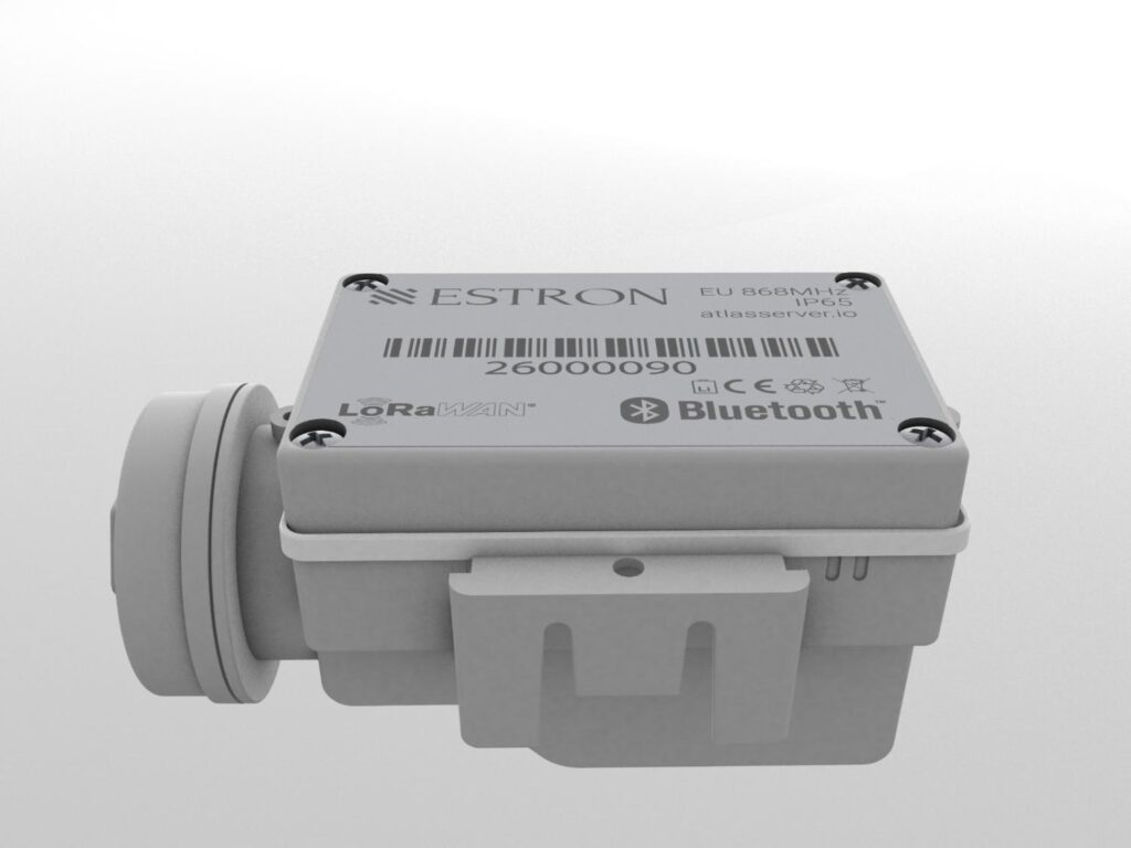
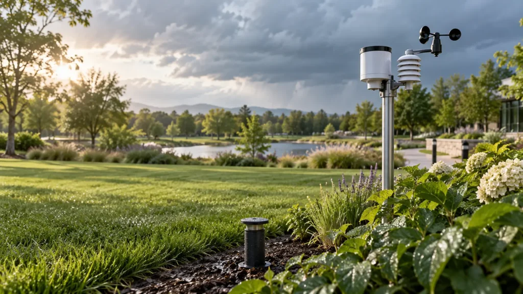
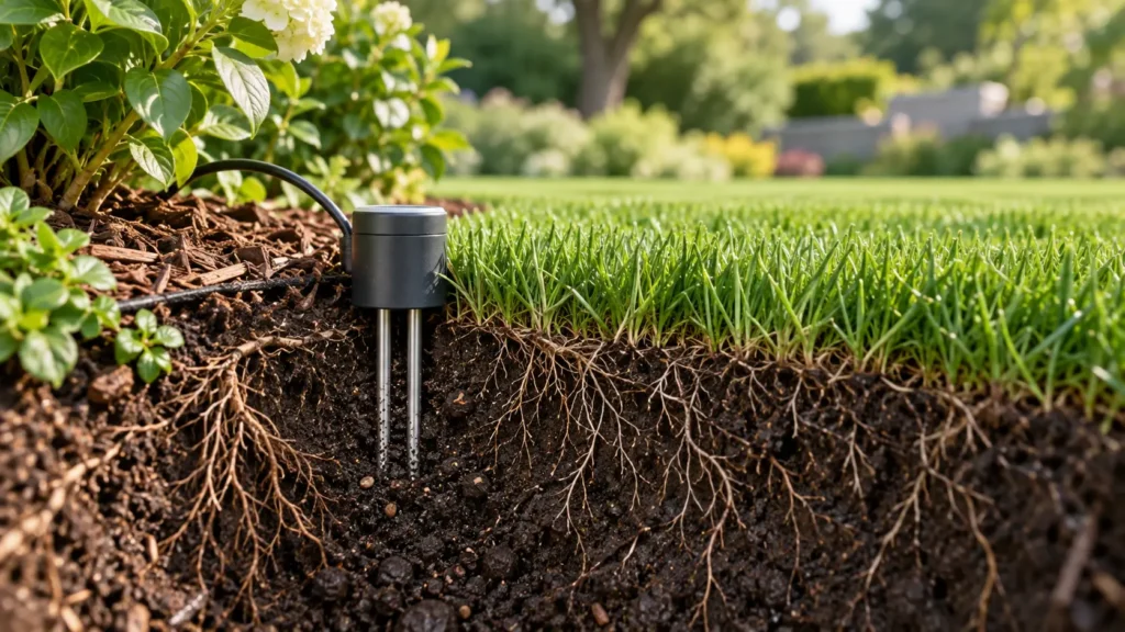
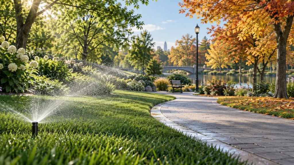
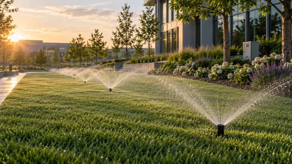
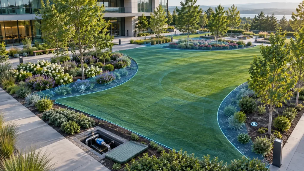
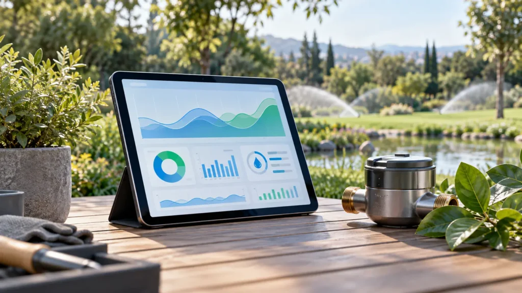
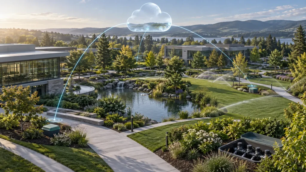
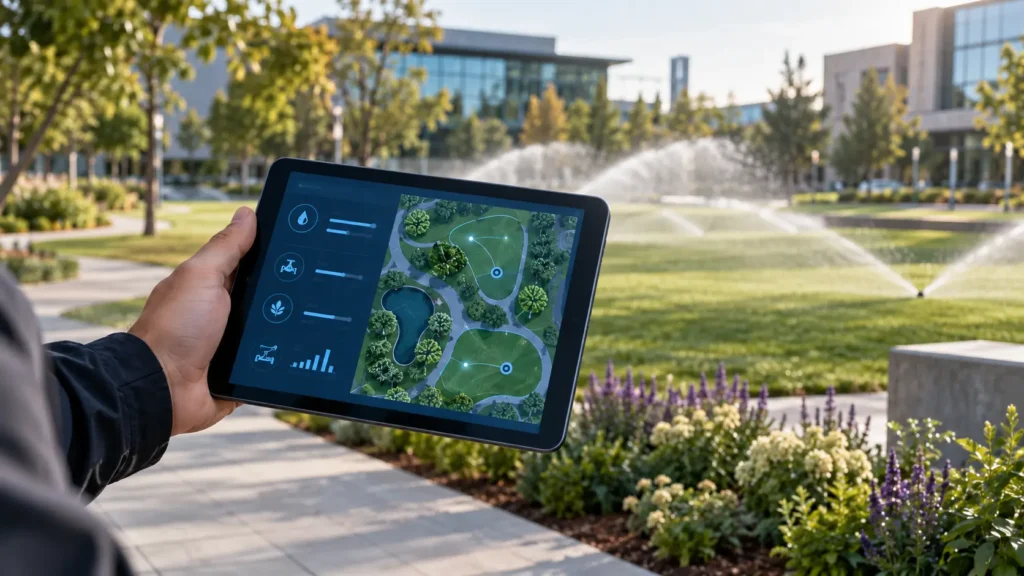
ATLAS × ESTRONBetter-informed irrigation. More resilient landscapes.Connect valves, sensors, water meters and irrigation decisions across parks, campuses, residential estates, hotels and industrial-zone landscapes. Combine Estron field devices and software with Atlas measurement and flow-control expertise.LoRaWAN & GSMBluetooth / BLEWeb & Mobile ManagementAI Decision SupportExample from Estron’s existing central management panel. Displayed values are test/example data, not a live site feed.One connected irrigation ecosystemFieldValve controllers, compatible solenoids, water meters and project-specific moisture, rain, temperature, flow and pressure sensors.ConnectivityLocal BLE, field LoRaWAN and cellular connectivity through a gateway or suitable endpoint, designed around a coverage survey.ManagementMaps, zone schedules, alarms, reports and reasoned irrigation decisions, with authorised operator control and traceable records.Existing Estron product infrastructureESTRON BLE / BLE–LoRaWANTwo valve outputs, local phone-based scheduling and model-dependent central management over LoRaWAN, with stored schedules and configurable communication intervals.LoRaWAN GatewayA gateway between field devices and central management. Antenna placement, coverage, internet backhaul and device count are assessed together during the survey.Verify solenoid compatibility, battery supply, sensor inputs, ingress protection and temperature limits against the supplied model datasheet. Range and battery life depend on site, antennas, communication frequency and operating conditions.A phone in the field. The full picture at the centre.Use the Estron mobile app for Bluetooth discovery, valve schedules and batch tasks. In the web panel, review device status, batteries, gateways, groups and decision history together. Local BLE does not require internet; remote operation depends on field communications and backhaul.Six solution areas for your projectBring central oversight and field operations together.Central dashboards, mobile device management, alarms and site comparisons help municipalities and multi-site operators work from a shared view. This section includes actual Estron web and mobile application screens.Manage water at the right pressure and measure the energy.Pump operation, flow and pressure management, energy scenarios and runtime calculations work together. The objective is to meet plant demand while using shared water sources and hydraulic capacity efficiently.Connected infrastructure from valve box to control centre.Battery valve control, LoRaWAN gateways, GSM/cellular backhaul, local BLE access and offline schedule continuity form the communications foundation of smart landscape irrigation.Make water savings measurable.Area-based consumption, over-watering indicators, night flow and efficiency reports help park operators manage water budgets. Reports should distinguish actual meter readings, estimates and missing data.Irrigation informed by weather and soil as well as the clock.Weather- and sensor-based management combines forecasts, measured rain, soil moisture, seasonal factors and automatic rules. AI decision support depends on input quality and clearly defined field constraints.Management that scales from one park to a city.Cloud-based central management, zone control, remote access and multi-park coordination provide a shared operating structure for municipal landscape departments, universities, industrial zones and facilities.AI-assisted irrigationA decision-making system should show its reasoning.Estron’s published approach combines forecasts, field data, irrigation history, FAO Penman–Monteith-based calculations, satellite indices and natural-language instructions. The Atlas vision extends this into a bounded decision loop informed by measured outcomes.Validate dataCheck timestamps, sensor health, missing data and source type.Estimate demandEvaluate ET₀, planting coefficients, effective rainfall and root-zone water balance.Apply limitsRespect watering windows, total flow, runtime, rain, frost and maintenance constraints.Recommend, approve, executeChoose advisory mode, operator-approved control or bounded automation after acceptance testing.Measure outcomesCompare actual flow, volume, runtime and moisture response with the plan.Record the rationaleKeep the inputs, authority and reasons behind each decision traceable.Satellite, sensor and model: complementary dataNDVI indicates vegetation condition; it does not diagnose water stress on its own. Low values may reflect species, season, sparse cover, shade or other causes. Optical pixel size and cloud cover matter for small landscapes. Distinguish physical root-zone moisture measurements from model estimates.Example decision: “Rain is expected and measured root-zone moisture is sufficient; postpone irrigation and reassess after rainfall.” This is an illustrative scenario, not a universal threshold or guarantee.Choose communications for the siteLinkUseDesign considerationBluetooth / BLELocal setup and maintenancePhone proximity and field accessLoRaWANLow-power field telemetry and valve controlGateway coverage, device class, receive windows and battery budgetGSM / LTE / NB-IoTGateway backhaul or suitable cellular endpointsModem, operator, SIM/data plan and local coverageEthernet / SCADAFixed facilities and enterprise integrationInterfaces, network permissions and project integrationOpen-field radio range is not a guarantee for closed valve boxes or urban sites. Critical real-time pump protection belongs in local panel/PLC controls, rather than delayed wireless communications.How do we measure water and energy efficiency?MetricCalculationInterpretationArea-normalised usem³ / m²Compare similar areas, planting and periods.Specific energykWh / m³Assesses pumping and irrigation together.RuntimeGross depth (mm) / application rate (mm/h)The result is hours; verify application rate in the field.Data qualityValid / expected recordsMakes missing-data effects visible.Savings depend on the baseline system, climate, irrigated area, planting, sensors and operation. Measure results in a pilot; no fixed percentage or payback period is promised.Who is it for?MunicipalitiesParks, public gardens, road medians and city-scale landscape management.Universities and public campusesShared asset records, permissions and reports across multiple operating teams.Industrial zones and facilitiesInclude landscape irrigation in corporate water and energy monitoring.Residential and commercial sitesGarden automation, remote operation and maintenance visibility.Hotels and resortsZoned landscape operation aligned with guest-use windows.Sports and golf facilitiesProject-specific design for turf, root zones and activity schedules.Development vision · Project-specific roadmapFrom today’s infrastructure to tomorrow’s autonomous landscapes.Explainable AI assistantTranslate natural-language requests into controlled rules and show the evidence, rationale and uncertainty behind recommendations.Hydraulic digital twinTest scenarios against pump curves, pipe capacity and zone relationships before field execution.Predictive maintenanceSuggest maintenance priorities from flow signatures, battery trends and communication history, refined with verified field events.Joint water–energy optimisationPlan using weather forecasts, plant demand, water budgets and energy tariffs together.Resilient, maintainable field controlLocal safety limits, secure firmware updates, command expiry and event reconciliation.Open enterprise integrationProject-defined documented APIs, SCADA/PLC interfaces, enterprise identity and data export.Advanced functions in this roadmap are development objectives. Existing functions, integrations and new modules are scoped separately for each project and delivered through pilot and acceptance testing.Four steps from survey to operationSurvey and requirements: Establish area, zones/valves, pipework, pumps, meters and connectivity.Pilot deployment: Measure compatibility, coverage, data accuracy and irrigation behaviour on a representative site.Integration and acceptance: Test schedules, alarms, outages, manual control and permissions against written criteria.Rollout and operation: Handover training, maintenance, backups, performance reporting and an expansion plan.Frequently asked questionsCan an existing irrigation system be upgraded?Many retrofit projects can retain existing pipework. Verify valve coils, hydraulic conditions, wiring and communications during the survey.Does irrigation stop if internet is lost?Estron’s approach retains schedules in device memory. Test outage behaviour on the selected model; do not expect new remote commands to execute immediately while offline.Can AI run everything on its own?The objective is graduated, bounded automation. Do not assume unrestricted autonomous control without data validation, operator authority, local interlocks and acceptance testing.Does every LoRaWAN valve need a SIM?LoRaWAN endpoints normally communicate through a gateway and do not each need a SIM. A cellular gateway needs a SIM/data plan. Direct cellular endpoints use a different architecture.How much water can be saved?A fixed percentage would be misleading. Establish baseline use, weather and site conditions, then evaluate comparable measurements before and after the pilot.What is needed for a tender or technical specification?Share the site plan, zone/valve count, solenoid details, pump and meter information, connectivity, server preference, interfaces and acceptance objectives.Plan your landscape irrigation project with us.Share the site area, valve count, existing connectivity and project objectives. We can define device selection, coverage survey, integration and pilot requirements together.Request a project quotationContact our technical teamTechnical approach and sourcesExisting product/application content is adapted from Estron’s published information. Global solutions were reviewed for technical comparison; this does not imply partnership or interoperability with other brands. Reviewed: 23 September 2026.Estron — akıllı peyzaj sulamaRain Bird — IQ4 FlowWatchToro — Lynx DriveHydroPoint / Baseline — AppManagerCalsense — CS3000FAO — Crop evapotranspiration, revised 2025Copernicus — Sentinel-2 L2AExplore product and software modules
Measurement and Metering Systems
Valves and Water Control Components
Underfloor Heating Systems
Automation and Remote Meter Reading
IoT Sensors and Network Devices
Software and Data Platforms
Water Efficiency
Landscape Irrigation Systems