From field data to controlled irrigation.
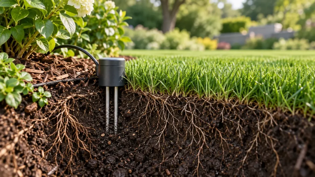
Support scheduled irrigation with actual field conditions by monitoring moisture in the root zone.
How it works
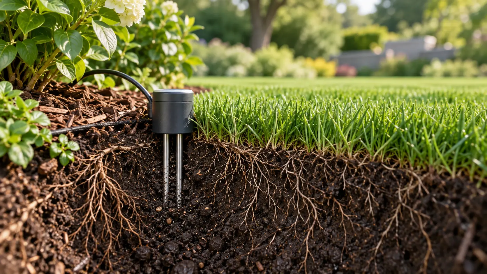
Place sensors in representative zones and root depths. The same percentage does not mean the same water status in every soil. Threshold hysteresis helps prevent rapid cycling. Satellite or weather-model estimates must not be presented as physical sensor readings.
Data used
Volumetric water content or sensor output; measurement depth; soil type; field capacity; lower/upper thresholds; calibration.
Design and commissioning
Define scope by evaluating site topology, planting and soil, selected devices, sensors and software version together. For retrofit projects, establish valve/coil compatibility, measurement points, communication coverage and operational responsibilities during the survey.
Compare dry and post-irrigation conditions and test alerts/fallback for disconnected sensors and implausible readings.
The next step
Multi-depth sensor fusion, field-updated soil-water models and learned irrigation response.
This section describes development and project-specific integration objectives. It is not a claim of standard product availability or guaranteed performance; implemented functions are defined in the quotation and acceptance criteria.
Applications
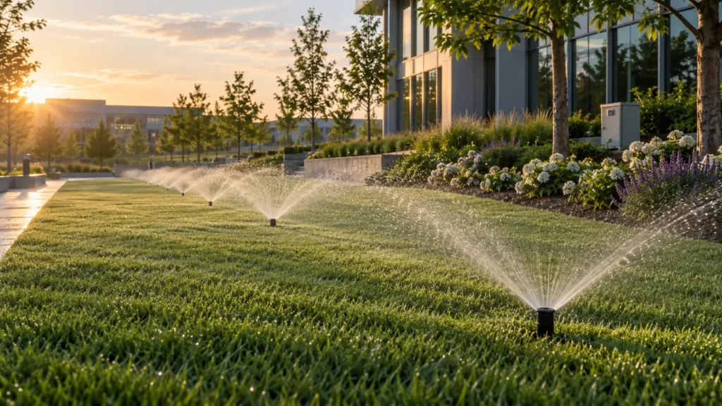
Municipal parks, public gardens, university campuses, industrial-zone landscapes, residential estates, hotels, sports facilities and road medians. As zone and site counts grow, standard asset records, traceable actions and measured management become essential.
Plan your landscape irrigation project with us.
Share the site area, valve count, existing connectivity and project objectives. We can define device selection, coverage survey, integration and pilot requirements together.
Request a project quotationContact our technical team